Updated: 2025-11-28 20:16 CET
| Basic data | ||
|---|---|---|
| Locality code: | PKUJ | |
| Name: | Kamenny Ujezd | |
| State: | Česká republika | |
| Owner: | Czech Hydrometeorological Institute | |
| Region: | Plzensky | |
| District: | Rokycany | |
| Basic administrative unit: | Kamenný Újezd | |
| Classification | ||
| Abbreviation: | B/R/NA-NCI | |
| EOI - station type: | background | |
| EOI - zone type: | rural | |
| EOI - zone characteristics: | natural, agricultural | |
| EOI B/R - subcategory: | near-city | |
| Residence address | ||
|
|
||
| Administrator | ||
|
ČHMÚ - pob. Plzeň
Mozartova 41 323 00 Plzeň |
Tel.: 377256641 | |
| E-mail: tomas.fory@chmi.cz | ||
| Localization | ||
| Coordinates: | 49° 43´ 19.200" North latitude 13° 37´ 6.736" East longitude | |
| Altitude: | 385 m | |
| Supplementary data | ||
| Terrain: | Plain | |
| Landscape: | Scarce low-storeyed built-up area (village, residental area) | |
| Representativeness: | District (County) scale (0.5-4 km) | |
| Place | ||
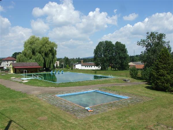
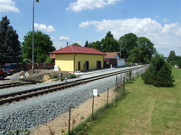
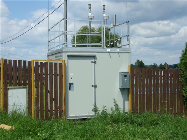
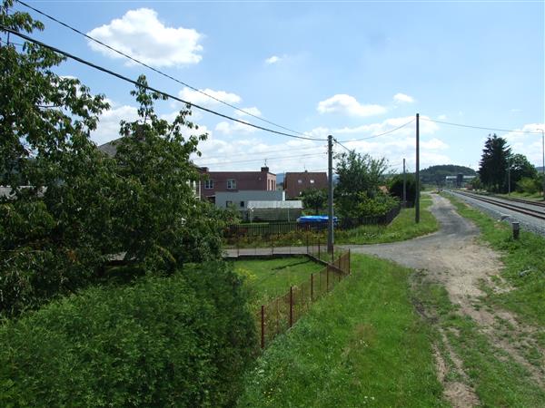
| Samostatná budka na travnaté ploše mezi zástavbou vilové čtvrti. | ||
| List of measuring programmes: | ||
| Code | Type | |
 PKUJA
PKUJA
|
Automated measuring program | |
 PKUJM
PKUJM
|
Manual measuring program | |
| Establishment and termination of the measuring site: | ||
| Date of establishment: 2004-05-01 | Date of termination: | |
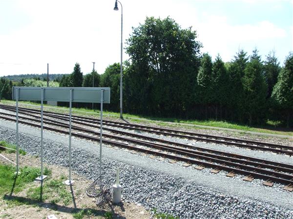
Locality photos
|
||
|
|
|
|