Updated: 2025-11-28 20:11 CET
| Basic data | ||
|---|---|---|
| Locality code: | UKRU | |
| Name: | Krupka | |
| State: | Česká republika | |
| Owner: | Czech Hydrometeorological Institute | |
| Region: | Ustecky | |
| District: | Teplice | |
| Basic administrative unit: | Krupka | |
| Classification | ||
| Abbreviation: | B/R/N-NCI | |
| EOI - station type: | background | |
| EOI - zone type: | rural | |
| EOI - zone characteristics: | natural | |
| EOI B/R - subcategory: | near-city | |
| Residence address | ||
|
Štola Starý Martin
Krupka |
||
| Administrator | ||
|
ČHMÚ-pobočka Ústí n/Labem
Pošt. přihrádka 2 40011 Ústí n/Labem |
Tel.: 472 706 057 | |
| E-mail: zdenka.rohanova@chmi.cz | ||
| Localization | ||
| Coordinates: | 50° 41´ 48.014" North latitude 13° 50´ 51.690" East longitude | |
| Altitude: | 533 m | |
| Supplementary data | ||
| Terrain: | The upper or the middle of a sharp slope (above 8%) | |
| Landscape: | Agricultural land, permanent herbaceous vegetation | |
| Representativeness: | Urban (City) scale (4-50 km) | |
| Place | ||
| Na JV úbočí Krušných hor, mimo obec. | ||
| List of measuring programmes: | ||
| Code | Type | |
 UKRUA
UKRUA
|
Automated measuring program | |
| Establishment and termination of the measuring site: | ||
| Date of establishment: 1992-06-12 | Date of termination: | |
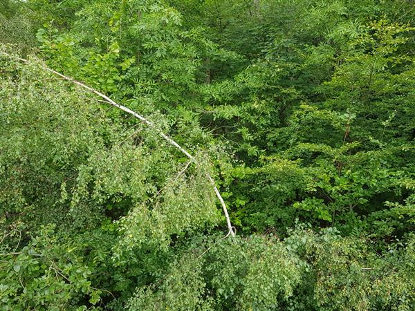
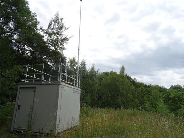
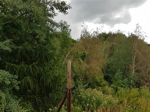
Locality photos
|
||

|
|
|

|