Updated: 2025-11-28 20:12 CET
| Basic data | ||
|---|---|---|
| Locality code: | THAT | |
| Name: | Hat | |
| State: | Česká republika | |
| Owner: | Czech Hydrometeorological Institute, Moravskoslezky kraj | |
| Region: | Moravskoslezsky | |
| District: | Opava | |
| Basic administrative unit: | Hať | |
| Classification | ||
| Abbreviation: | B/R/NA-REG | |
| EOI - station type: | background | |
| EOI - zone type: | rural | |
| EOI - zone characteristics: | natural, agricultural | |
| EOI B/R - subcategory: | regional | |
| Residence address | ||
|
Lipová
747 16 Hať |
||
| Administrator | ||
|
ČHMÚ - pob.Ostrava
K Myslivně 3/2182 70800 Ostrava - Poruba |
Tel.: 596900218 | |
| E-mail: blanka.krejci@chmi.cz | ||
| Localization | ||
| Coordinates: | 49° 56´ 23.336" North latitude 18° 16´ 35.938" East longitude | |
| Altitude: | 207 m | |
| Supplementary data | ||
| Terrain: | The ground of an open, aerated valley | |
| Landscape: | Built-up area, non-built-up area, marginal parts of municipalities | |
| Representativeness: | Urban (City) scale (4-50 km) | |
| Place | ||
| U ČOV. | ||
| List of measuring programmes: | ||
| Code | Type | |
 THATM
THATM
|
Manual measuring program | |
| Establishment and termination of the measuring site: | ||
| Date of establishment: 2016-01-01 | Date of termination: 2016-12-31 | |
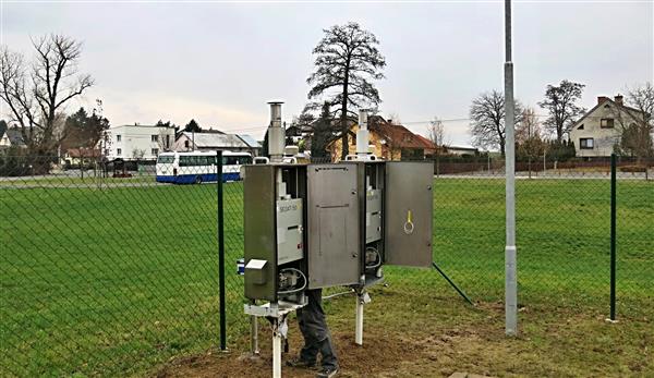
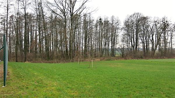
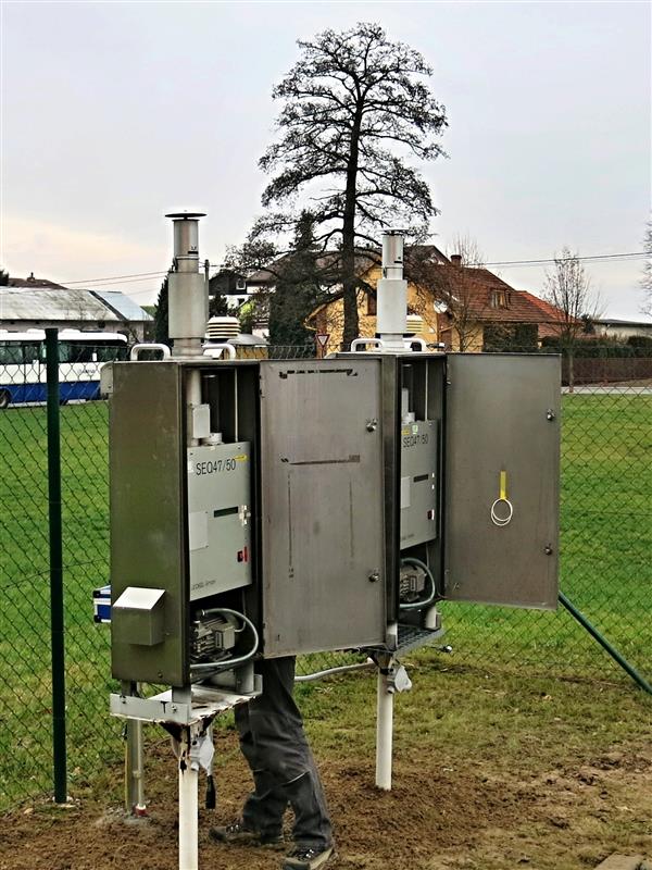
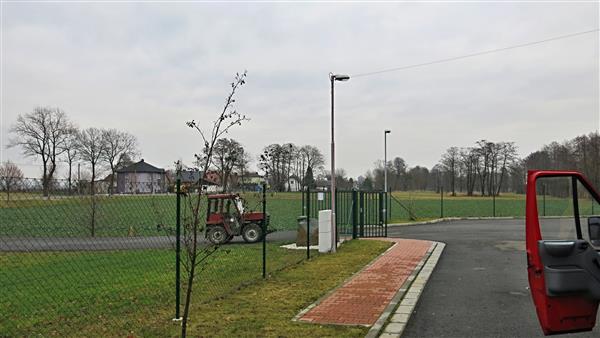
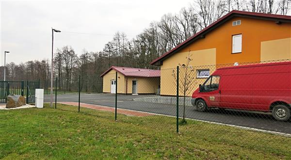
Locality photos
|
||
|
|
|
|