Updated: 2025-11-28 20:13 CET
| Basic data | ||
|---|---|---|
| Locality code: | LFRU | |
| Name: | Frydlant-Udoli | |
| State: | Česká republika | |
| Owner: | Czech Hydrometeorological Institute | |
| Region: | Liberecky | |
| District: | Liberec | |
| Basic administrative unit: | Frýdlant | |
| Classification | ||
| Abbreviation: | B/R/AN-NCI | |
| EOI - station type: | background | |
| EOI - zone type: | rural | |
| EOI - zone characteristics: | agricultural, natural | |
| EOI B/R - subcategory: | near-city | |
| Residence address | ||
|
|
||
| Administrator | ||
|
ČHMÚ-pobočka Ústí n/Labem
Pošt. přihrádka 2 40011 Ústí n/Labem |
Tel.: 472 706 057 | |
| E-mail: zdenka.rohanova@chmi.cz | ||
| Localization | ||
| Coordinates: | 50° 56´ 17.582" North latitude 15° 4´ 49.037" East longitude | |
| Altitude: | 381 m | |
| Supplementary data | ||
| Terrain: | The upper or the middle part of sharp slope (up to 8%) | |
| Landscape: | Agricultural land (Arable land predominates.) | |
| Representativeness: | Urban (City) scale (4-50 km) | |
| Place | ||
| Mírný severní svah ve volné přírodě od Frýdlantu ( za kopcem). | ||
| List of measuring programmes: | ||
| Code | Type | |
 LFRUA
LFRUA
|
Automated measuring program | |
|
LFRUM
|
Manual measuring program | |
| Establishment and termination of the measuring site: | ||
| Date of establishment: 1992-12-09 | Date of termination: 2015-07-08 | |
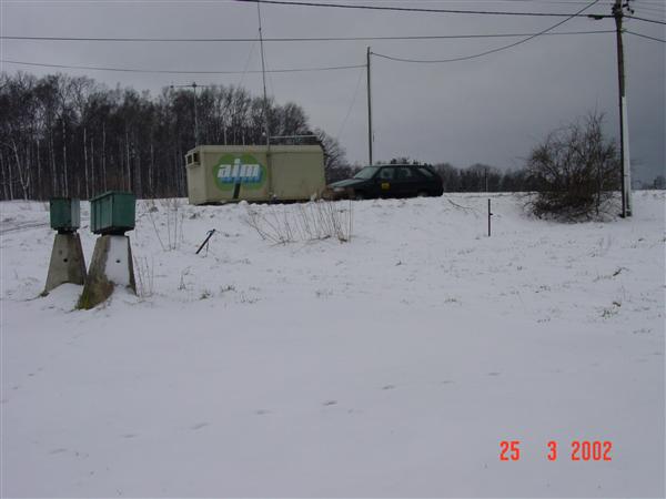
Locality photos
|
||